LAND/BOUNDARY AND CONSTRUCTION SURVEY
WET offers land/boundary and construction survey services
Our surveying services include:
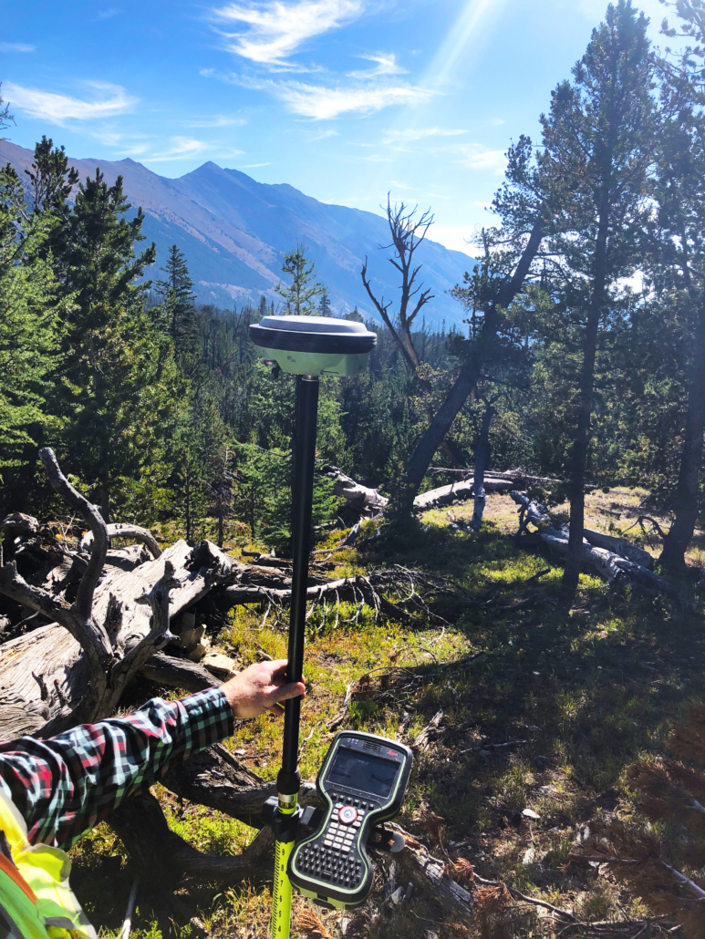
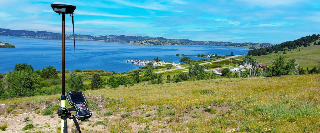
- Conventional and GPS surveying utilizing Global Navigation Satellite System (GNSS) static and Real-Time Kinematic (RTK) surveys
- Geodetic control surveys using Continuously Operating Reference Stations (CORS) network, Online Positioning User Service (OPUS)/OPUS projects
- Public records research
- Legal descriptions
- Boundary retracement surveys, boundary relocation surveys, family transfer surveys, court ordered surveys, aggregation surveys
- Major and minor subdivisions including design, drafting, permitting and layout
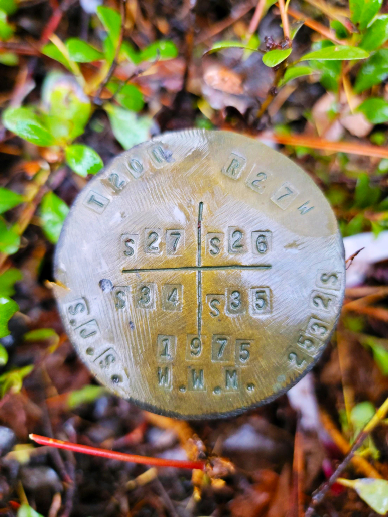
- Public Land Survey System (PLSS)/cadastral surveys (section land)
- Mineral surveys and Homestead Entry Surveys
- American Land Title Association (ALTA) surveys & as-built surveys
- Right-of-way surveys
- Easement surveys
- Easement exhibits
- Topographic surveys
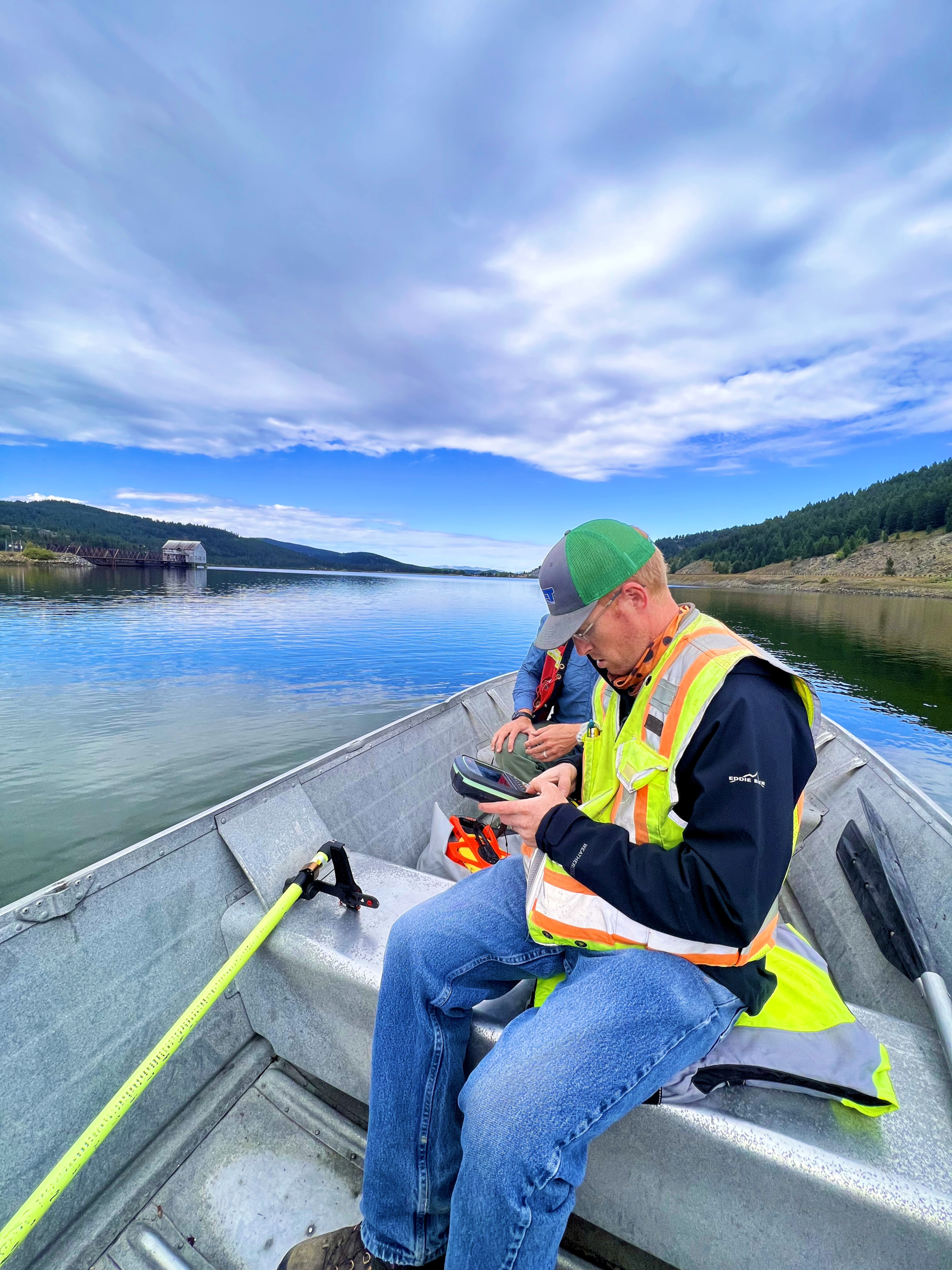
- Bathymetric/Hydrographic surveys
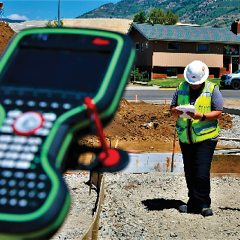
- Construction Staking
- Floodplain—Letters of Map Amendment (LOMAs), Letters of Map Revision (LOMRs), Flood Insurance Study (FIS) profile analysis
- Marking and posting boundary lines
WET also offers aerial surveying via drones/UAV. These services include Lidar, photogrammetry, terrestrial scanning, and more.
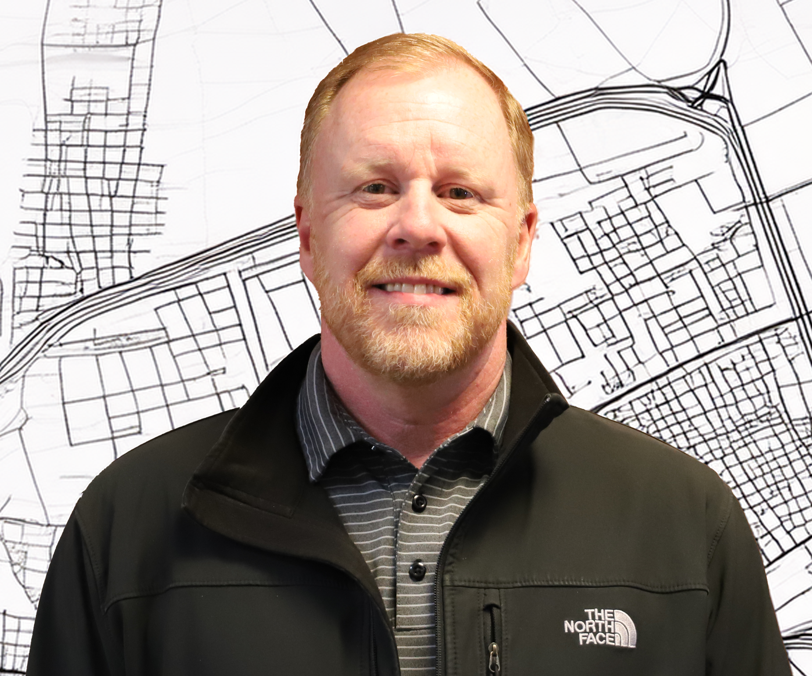
MEET OUR PROFESSIONAL LAND SURVEYOR, KEVIN!
KEVIN BIASTOCH, PLS
Professional Land Surveyor
Kevin joined the WET team in 2024 as a senior land surveyor, bringing extensive experience from roles at the Montana Department of Transportation (MDT), Northwestern Energy (NWE), and SJW Land Surveying. His expertise includes boundary analysis, topographical surveys, and project management.
A self-driven professional, Kevin excels in process improvement, employee mentoring, and professional training with Trimble GPS/GNSS equipment. He has over 20 years of drafting experience with Civil 3D, MicroStation, and Carlson.
Professional Experience:
- MDT (Helena, Montana)—Led GNSS control surveys statewide, processed geodetic data, and provided coordinate data to consultants.
- MDT (Butte, Montana)—Managed retracement projects, including Stone Creek (7 miles, 2013) and Livingston-South (3.5 miles, 2017), handling boundary determination, PLSS corner restoration, and survey certification.
- NWE (Butte, Montana)—Led the Lohman Substation Expansion (2020), retracing and relocating boundaries for land acquisition.
Kevin specializes in high-order geodetic control, digital data processing, and survey project management.



ELEMENTARY SCHOOLS RECESS REDESIGN—BUTTE, MONTANA
ANACONDA SKATEPARK SITE SURVEY—ANACONDA, MONTANA
THANIEL & TYNDALL SUBDIVISIONS—GREAT FALLS, MONTANA