
UAV LIDAR, SURVEYING, AND GIS MAPPING SOLUTIONS
Save Time and Money—Get Better Data
WET provides integrated surveying, mapping, and GIS services that help utility providers plan, manage, and improve their infrastructure systems. Using advanced GNSS, UAV (drone), and robotic total station technology, our team collects highly accurate spatial data for water, wastewater, stormwater, and utility projects. These services support asset inventories, utility mapping, topographic surveys, construction staking, design, and infrastructure improvements.
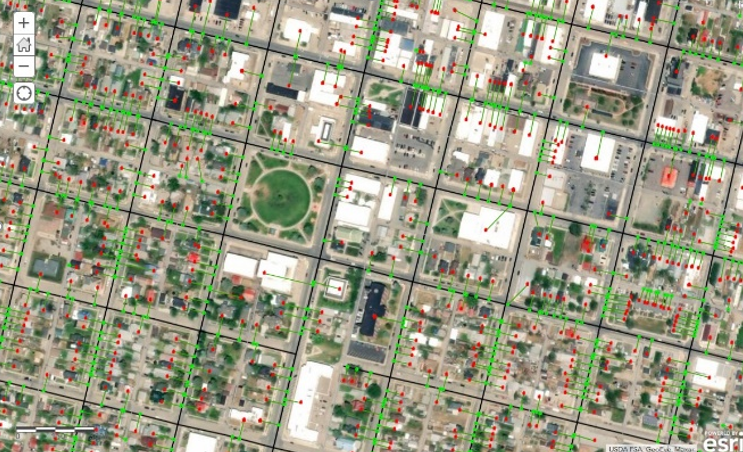
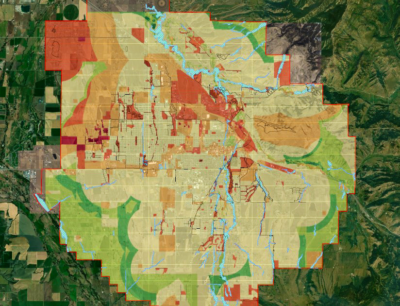
Our GIS professionals develop customized geodatabases and mapping systems that connect field data, utility assets, and operational information into a single, easy-to-use platform. By combining high-precision survey data with modern GIS technology, WET delivers reliable, actionable information that supports asset management, capital planning, regulatory compliance, and informed decision-making.
UAV Aerial Surveying
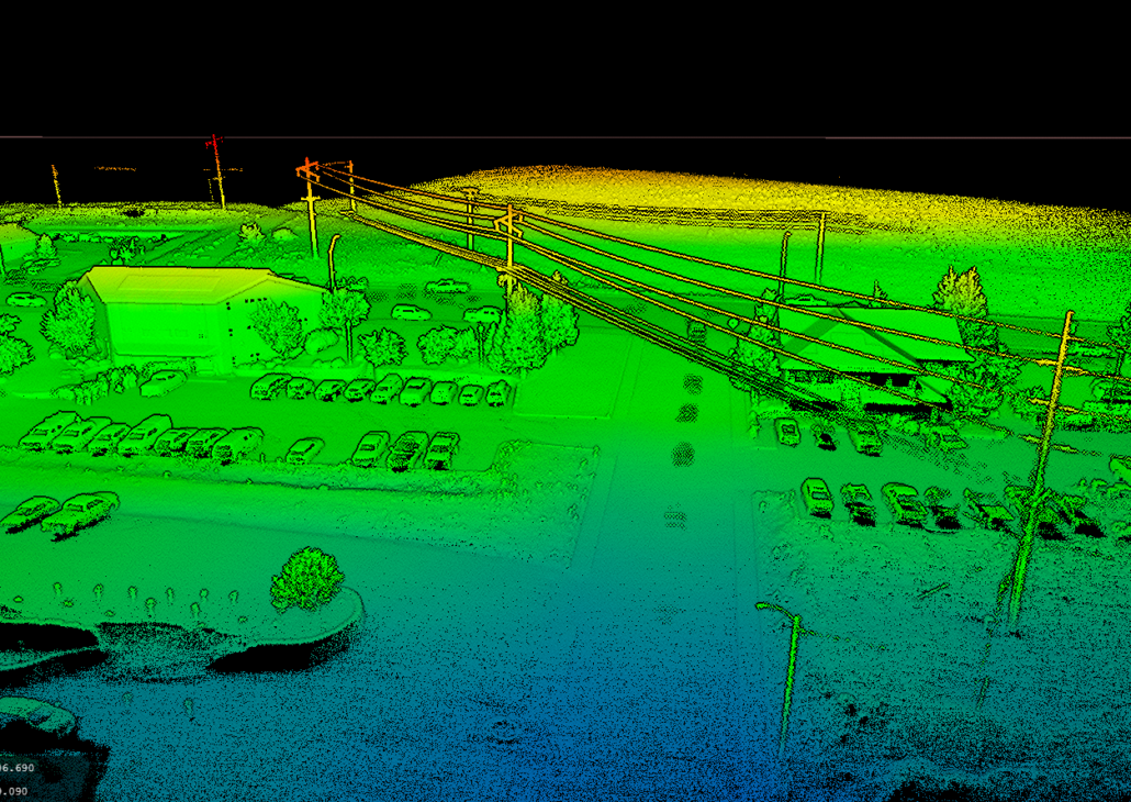
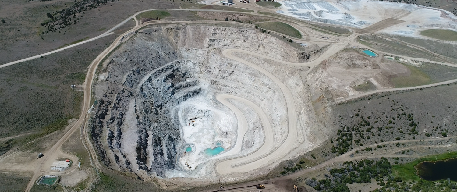
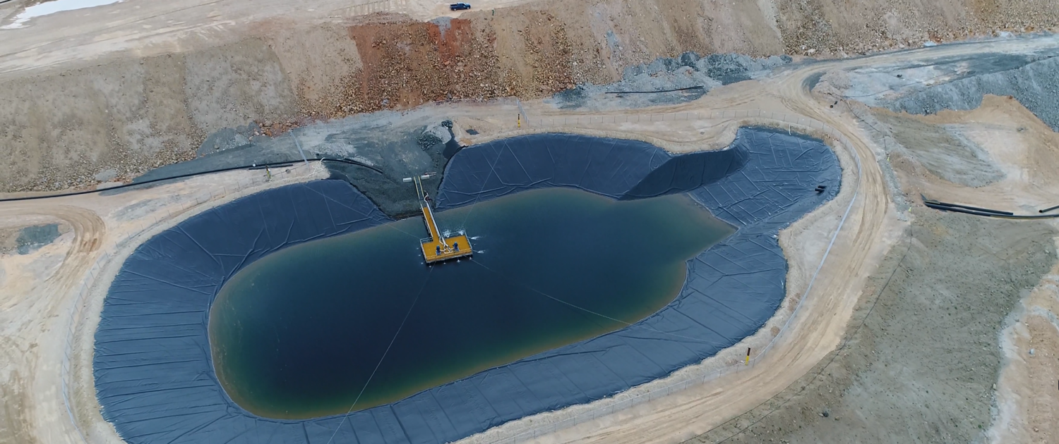
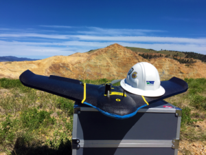
WET has been at the forefront of UAV aerial surveying and mapping since 2015 and has recently expanded its capabilities to include advanced UAV LiDAR systems. Our diverse fleet includes multiple fixed-wing and multi-rotor platforms, enabling WET to meet nearly any aerial mapping need with efficiency and precision.
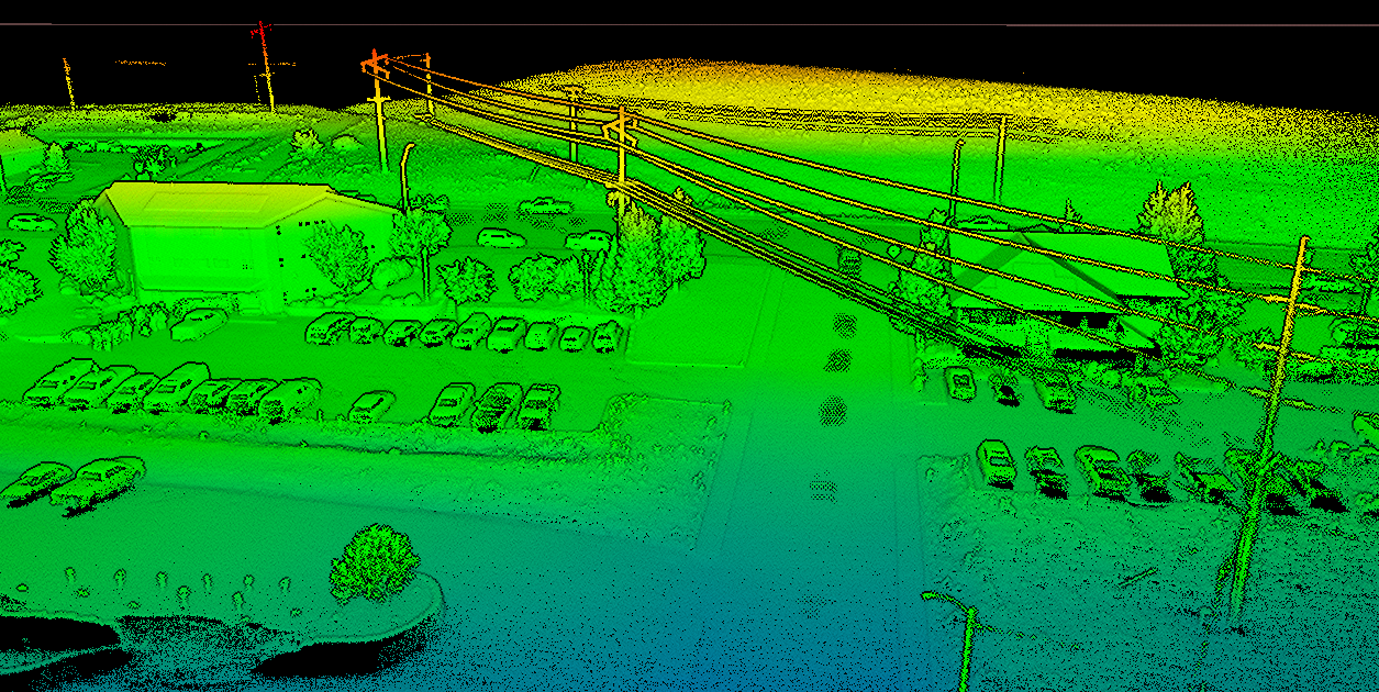
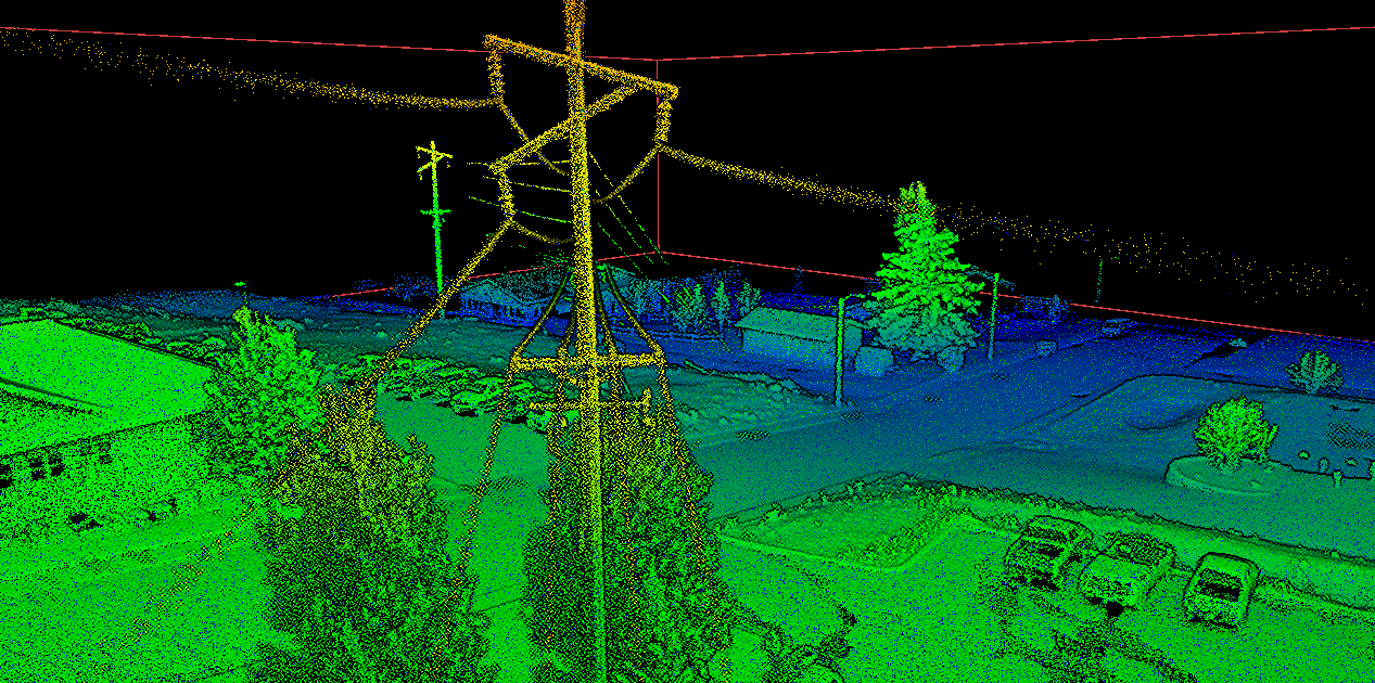
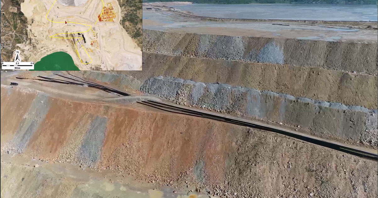
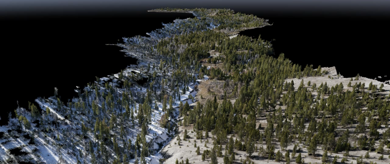
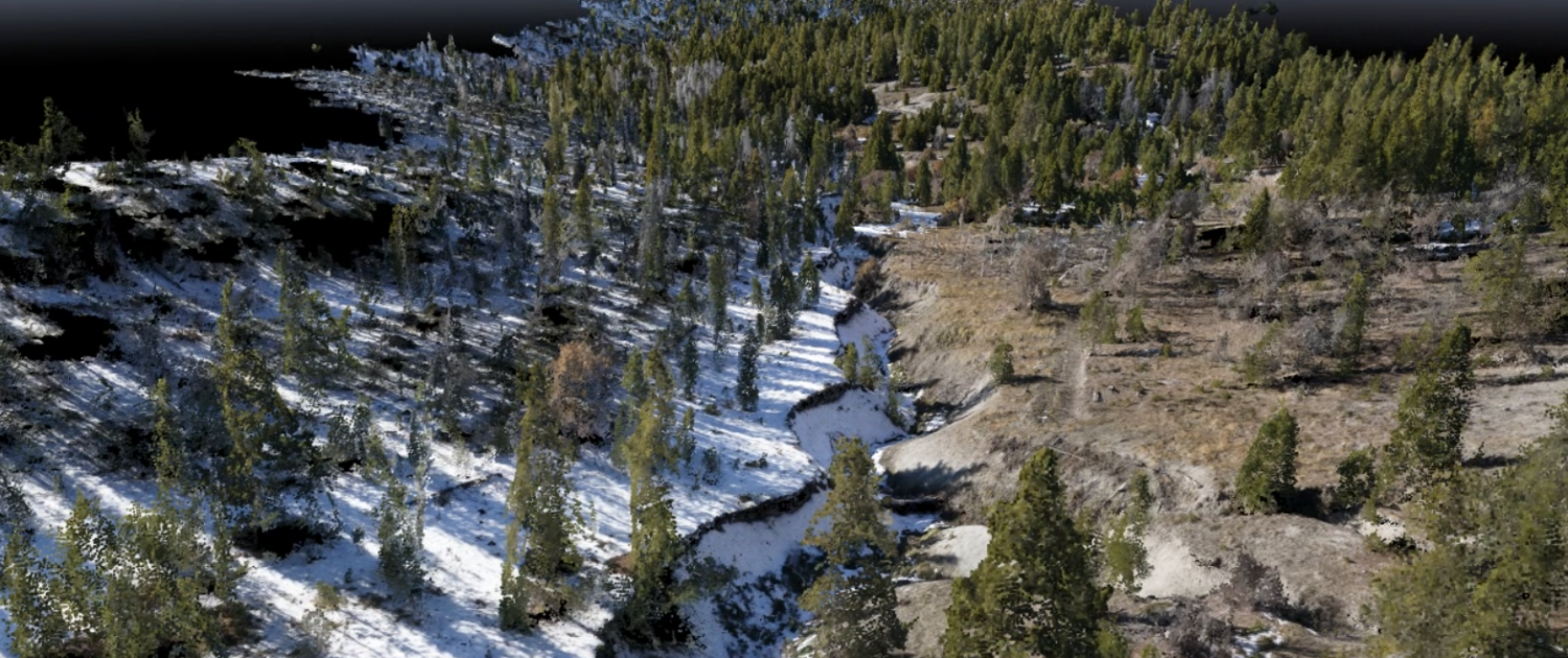
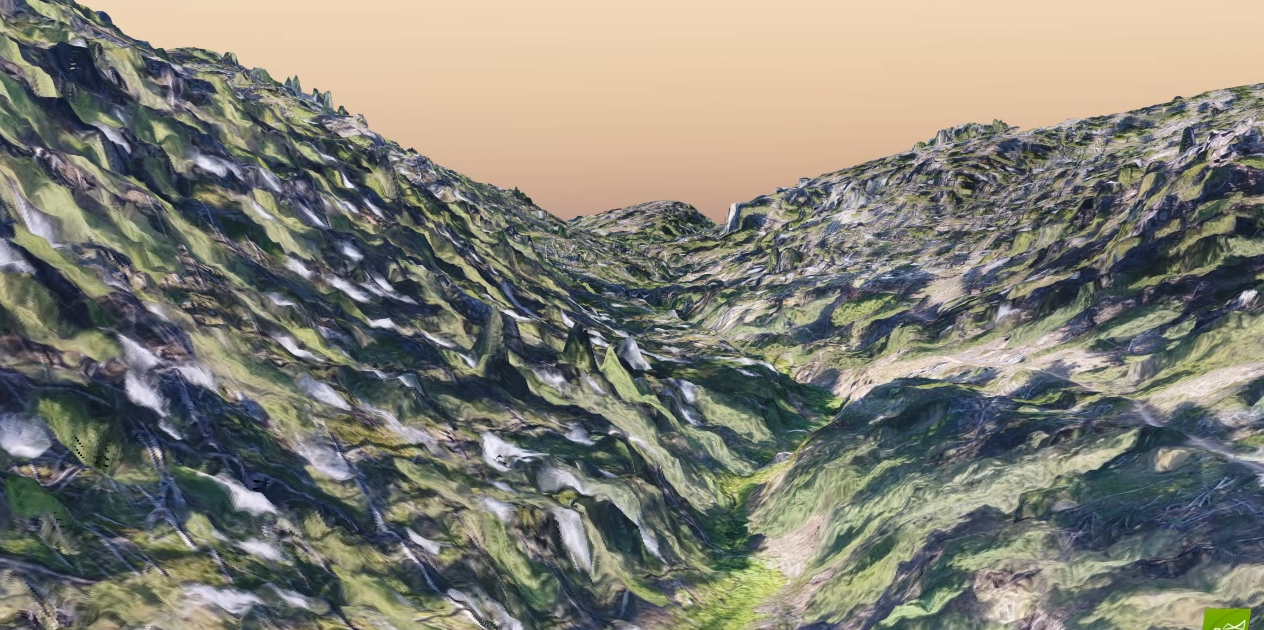
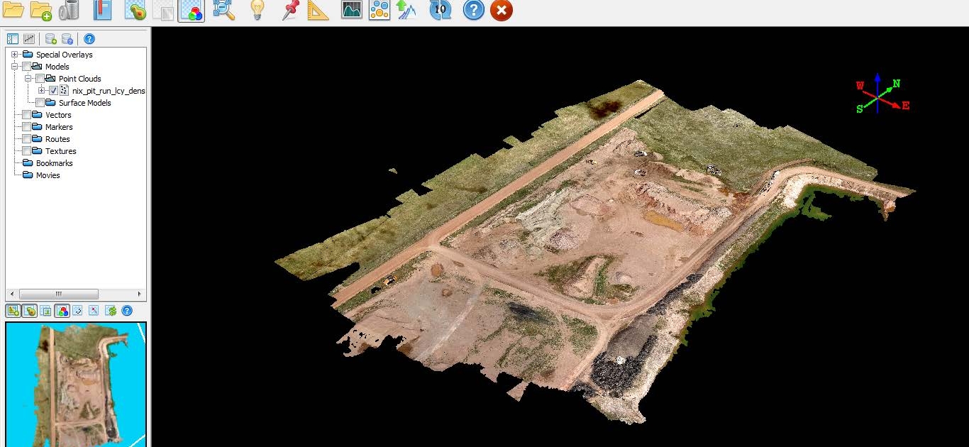
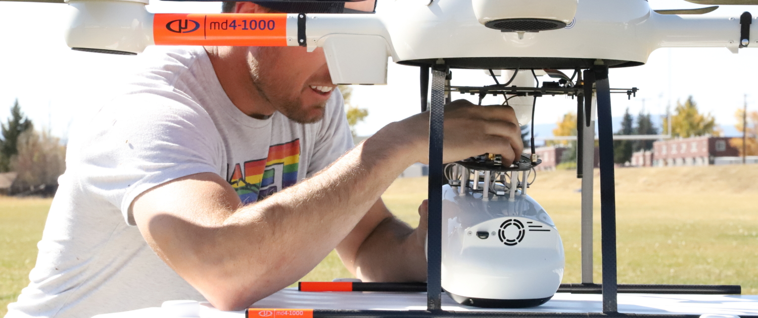
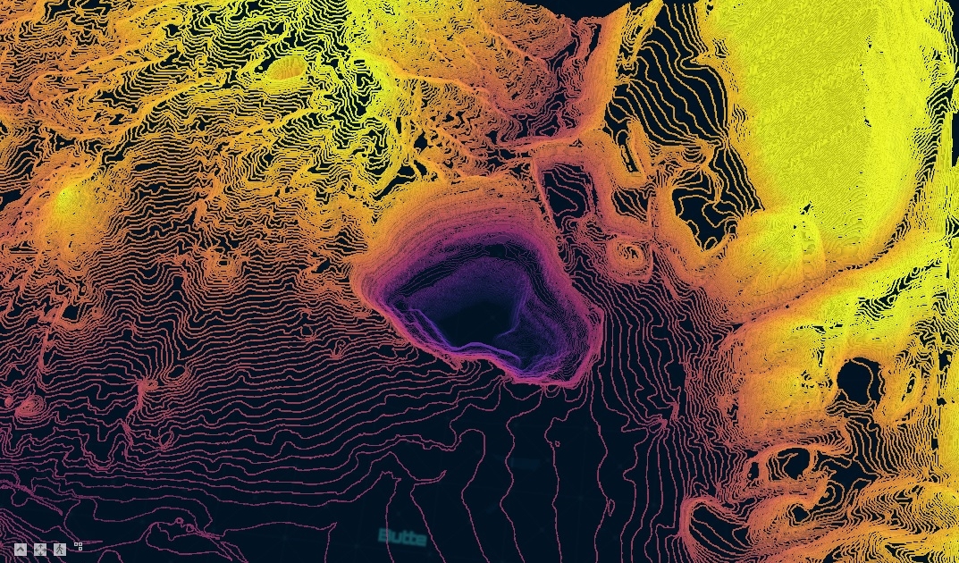
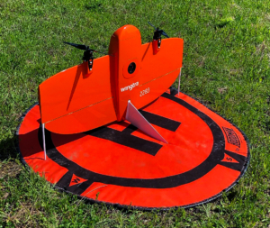
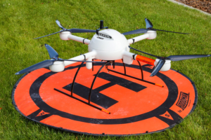
Our newest systems include the Microdrones’ mdLidar1000, Vision Aerial’s RDRone with a FLIR Duo Pro R thermal camera, Hovermap LiDAR system with BIM integration, and the WingtraOne fixed-wing UAV. The mdLiDAR1000 allows for collection of high-resolution 3D point clouds and topographic data in heavily vegetated or complex terrain. The RDRone enables detailed thermal mapping and inspection, while the WingtraOne captures imagery at 0.6 inches per pixel (GSD) from 400 feet—mapping thousands of acres per day with survey-grade accuracy.
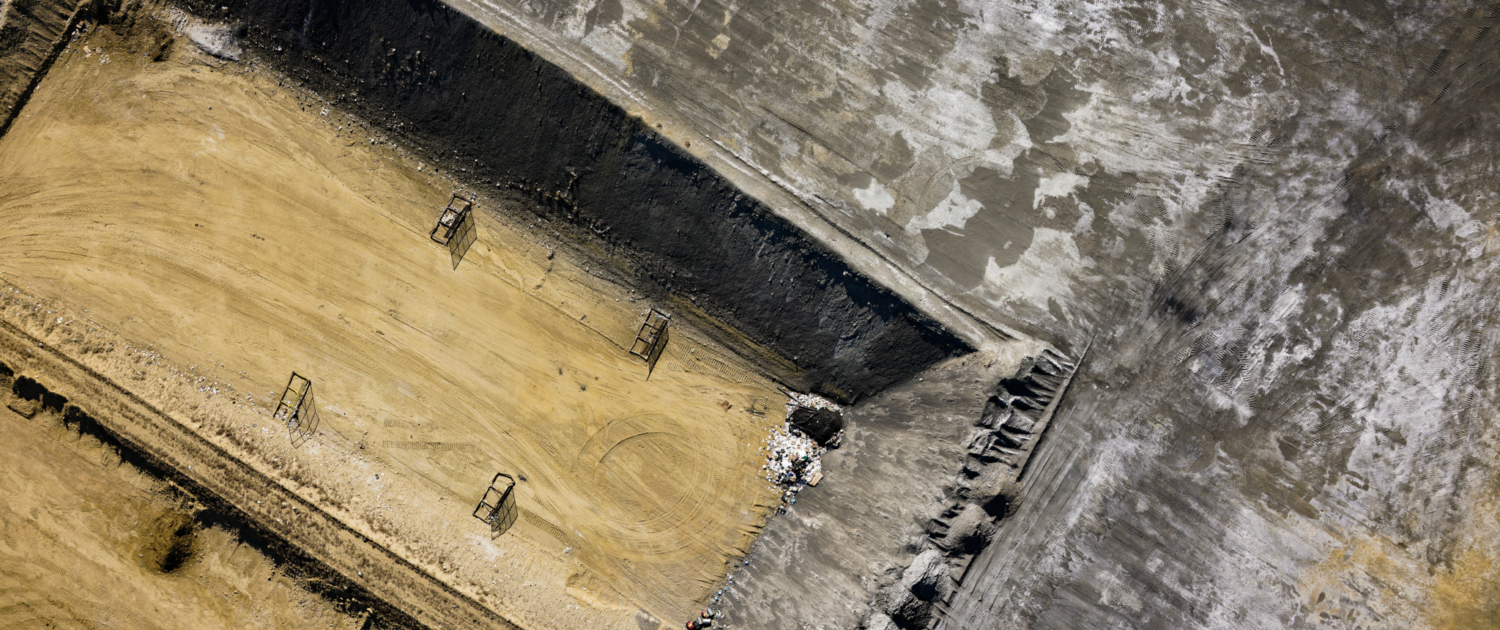
Using professional photogrammetry and LiDAR processing software, WET produces 3D models, ortho-mosaics, and point clouds with centimeter-level accuracy. These data products support a wide range of applications, including civil engineering, GIS, mining, agriculture, environmental monitoring, construction, inspections, and Building Information Modeling (BIM).









Outputs and Deliverables
WET tailors deliverables for each project, depending on client needs.
Some examples include the following:
- 3D Point Cloud (las, csv, etc.)
- DTM (las, dwg, dxf, xml, etc.)
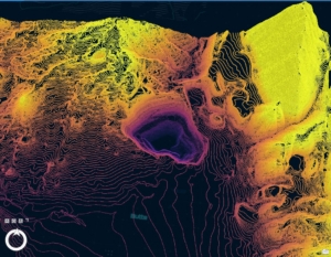
- Contours (dwg, dxf, etc.)
- Orthomosaic Image (tiff, jpg)
- Vegetation Indices (tiff)
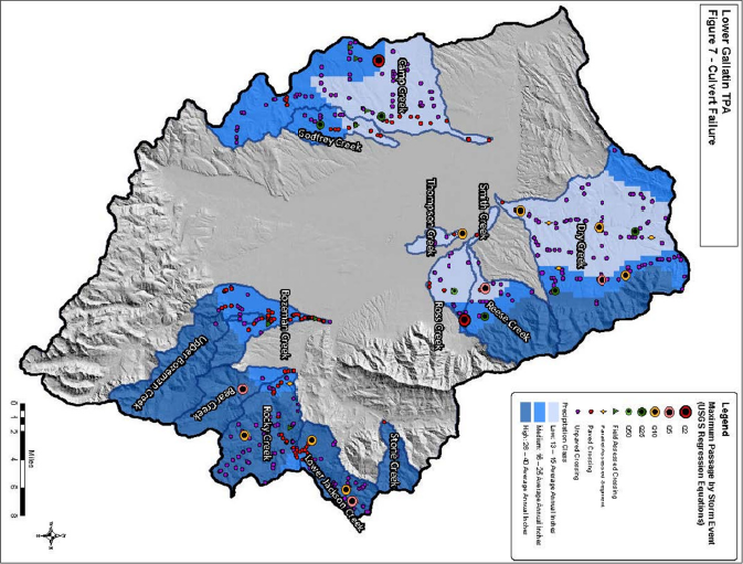
- Maps (pdf, hard copy, interactive web map)
- Temperature Indices (tiff)
- HD Video (mp4, wmv, etc.)
Application Examples
- Stockpile Surveys
- Mine Planning/Topography
- Site Development
- Engineering Design
- Environmental Restoration Monitoring
- Construction Progress Monitoring
- Landfill Topography
- Vegetation Mapping
- Stream Temperature Mapping
- Aerial Inspections
- Cultural Resources/Archaeology
- High Definition Video
- Erosion Analysis/Investigation/Monitoring
Superior Site Characterization
- Risk Reduction
- Rapid Data Acquisition (~100 acres per 30 min flight)
- Higher Data Resolution (<1in GSD)
- Lower Costs
- Unique Aerial Perspective
- Survey Inaccessible Locations
- No Interruption to Operations
- Multiple Data Types
Our Fleet

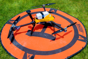
Additional Survey Services WET Offers:
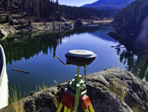
- Conventional and GPS surveying utilizing Global Navigation Satellite System (GNSS) static and Real-Time Kinematic (RTK) surveys
- Geodetic control surveys using Continuously Operating Reference Stations (CORS) network, Online Positioning User Service (OPUS)/OPUS projects
- Public records research
- Legal descriptions
- Boundary retracement surveys, boundary relocation surveys, family transfer surveys, court ordered surveys, aggregation surveys
- Major and minor subdivisions including design, drafting, permitting and layout
- Public Land Survey System (PLSS)/cadastral surveys (section land)
- Mineral surveys and Homestead Entry Surveys
- American Land Title Association (ALTA) surveys & as-built surveys
- Right-of-way surveys
- Easement surveys
- Easement exhibits
- Topographic surveys
- Bathymetric/Hydrographic surveys
- Construction Staking
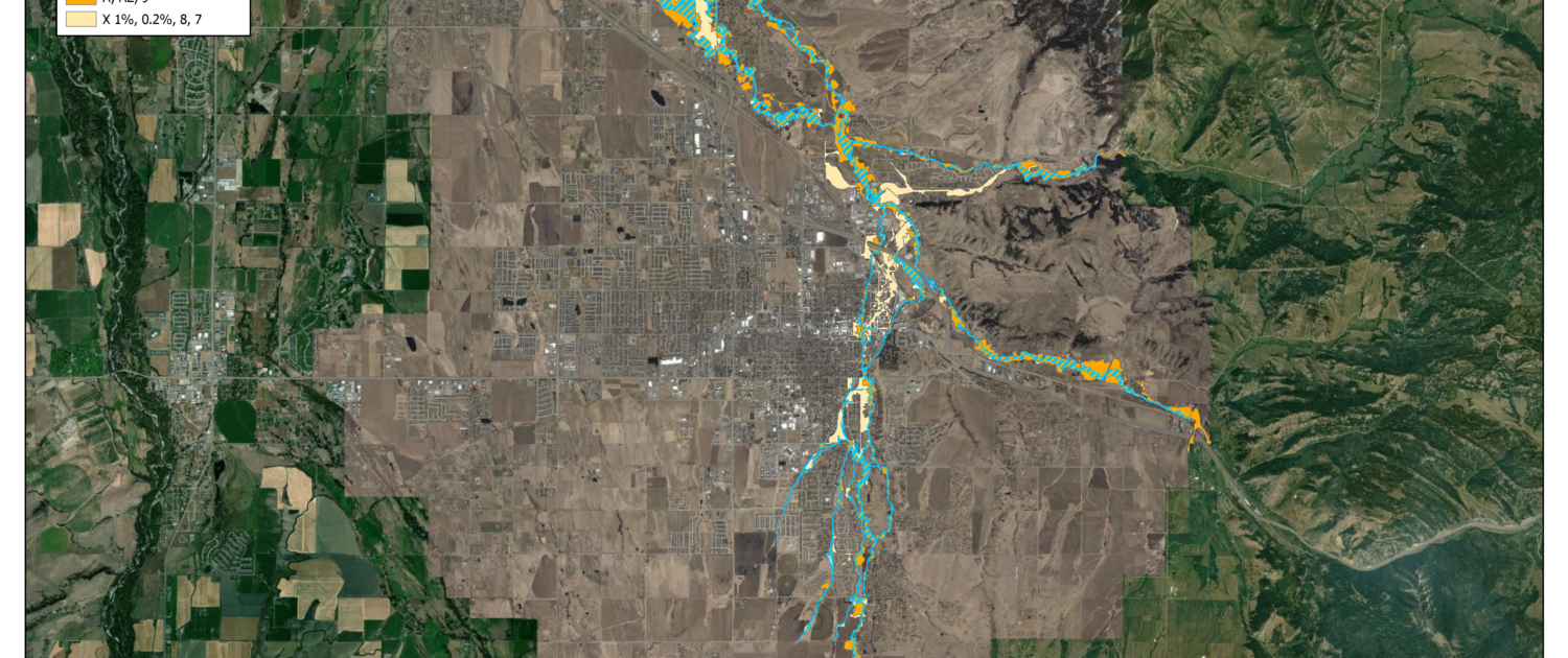
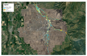
- Floodplain—Letters of Map Amendment (LOMAs), Letters of Map Revision (LOMRs), Flood Insurance Study (FIS) profile analysis
- Marking and posting boundary lines




GIS and Database Development Services
WET’s geospatial and database development services include paper map and CAD-to-GIS conversion, GPS data collection with sub-foot to sub-centimeter accuracy, GIS layer and attribute development, 9-1-1 mapping and addressing support, custom field data collection forms, and the design of asset management geodatabases.
By combining high-accuracy data collection, advanced spatial analysis, and user-friendly database design, WET delivers practical, scalable solutions that help clients better understand their infrastructure, streamline reporting, and support long-term planning.



ELEMENTARY SCHOOLS RECESS REDESIGN—BUTTE, MONTANA
ANACONDA SKATEPARK SITE SURVEY—ANACONDA, MONTANA
POWER GENERATION PLANTS—UTAH & WYOMING