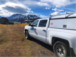
TOM MINER BASIN RESIDENTIAL TOPO SURVEY
Bozeman, Montana
WET completed a topographic survey of a residential site located in the Tom Miner Basin near Yellowstone Park. The survey data was used by the architect to design an expansion/remodel for an existing house. WET surveyed existing site features and verified existing building elevations to ensure the highest level of accuracy for the client. WET provided the architect with a detailed site map in CAD format that allowed the architect to integrate the survey data seamlessly into their design software.


